It’s a level playing field with Leica’s iCON gps 70 Series

Efficiency is the name of the game from the iCON gps 70 Series, a GNSS rover from Leica Geosystems. With the iCON gps 70 T you can measure and stakeout points faster and without the need to keep the pole vertical and level the bubble. The combination of the latest GNSS technology and inertial measurement unit (IMU) equips the iCON gps 70 T with permanent tilt compensation and makes it resistant to any magnetic interference. Because the iCON gps 70 T is calibration-free, it can be ready instantly and any
April 27, 2018 Read time: 2 mins
Leica’s iCON gps 70: no need to keep the pole vertical and level the bubble

Efficiency is the name of the game from the iCON gps 70 Series, a GNSS rover from Leica Geosystems.

With the iCON gps 70 T you can measure and stakeout points faster and without the need to keep the pole vertical and level the bubble.

The combination of the latest GNSS technology and inertial measurement unit (IMU) equips the iCON gps 70 T with permanent tilt compensation and makes it resistant to any magnetic interference.

Because the iCON gps 70 T is calibration-free, it can be ready instantly and anywhere that it is needed.

The on-site operator can collect as-built field data and stake out designs faster while increasing accuracy and reduced errors. This also allows the operative to focus more on his or her safety in a hazardous environment.

The iCON gps 70 series is seamlessly integrated into the Leica iCON field software. By keeping the core central interface, following the unrivalled Leica iCON concept, the onsite operative can benefit from the simple-to-use workflows which require less training and avoid costly downtime.

The GNNSS technology allows 555 channels for more signals, faster acquisition
and improved sensitivity.

To ensure accuracy and continued use, the unit is IP66 / IP68 protected. It is also built for extreme temperatures of -40°C to +65°C.

Related Content

  • Upgrades by Power Pavers ensure old generation slipformer uses new Topcon machine control system
    July 1, 2013
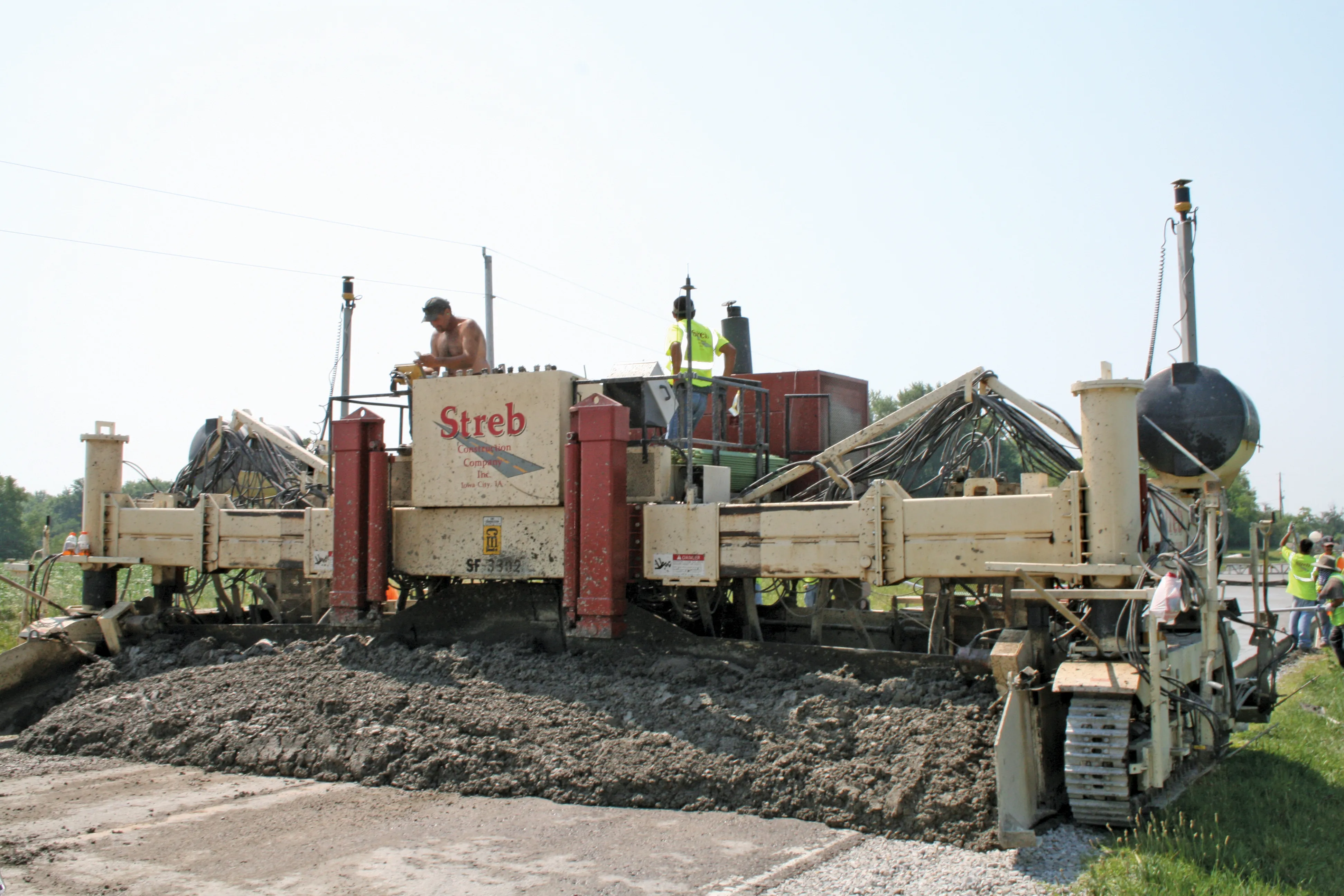
    Upgrades to a slipform concrete paver built in 1999 allow it to use current technology. US firm Streb Construction has taken a novel approach to its paving fleet by upgrading a CMI paver built in 1999 to use modern machine control technology. The company bought the CMI SF3302 machine new and this piece of equipment had logged a high number of hours since its purchase. However the company realised that this proven piece of equipment could be made to operate more efficiently and productively, as well as more
  • Efficient construction leads to quality roads
    November 30, 2012
    Technology to assist the installation of quick laying, yet top-quality, road surfaces requiring less frequent repair, thus limiting costs and the number of construction sites, is being sought by highways authorities the world over. The European Union devised project ASPHALT (Advanced Galileo Navigation System for Asphalt Fleet Machines) for satellite navigation and fleet management may have found just what such authorities are looking for. Within the scope of the ASPHALT research project MOBA, together wit
  • Trimble announces key technology developments
    November 7, 2018
    Trimble is expanding its range of machine control technology options for users of graders and excavators with the release of key new releases. One is for the LOADRITE Payload Management system, which can now be utilised on excavators already equipped with the Trimble Earthworks Grade Control Platform. The other systems are new versions of the Trimble Earthworks Grade Control Platform that can be used with graders or deliver automatic guidance for tiltrotators. These are key developments for the firm, boo
  • Weigh in motion technology reduces road damage
    February 8, 2012
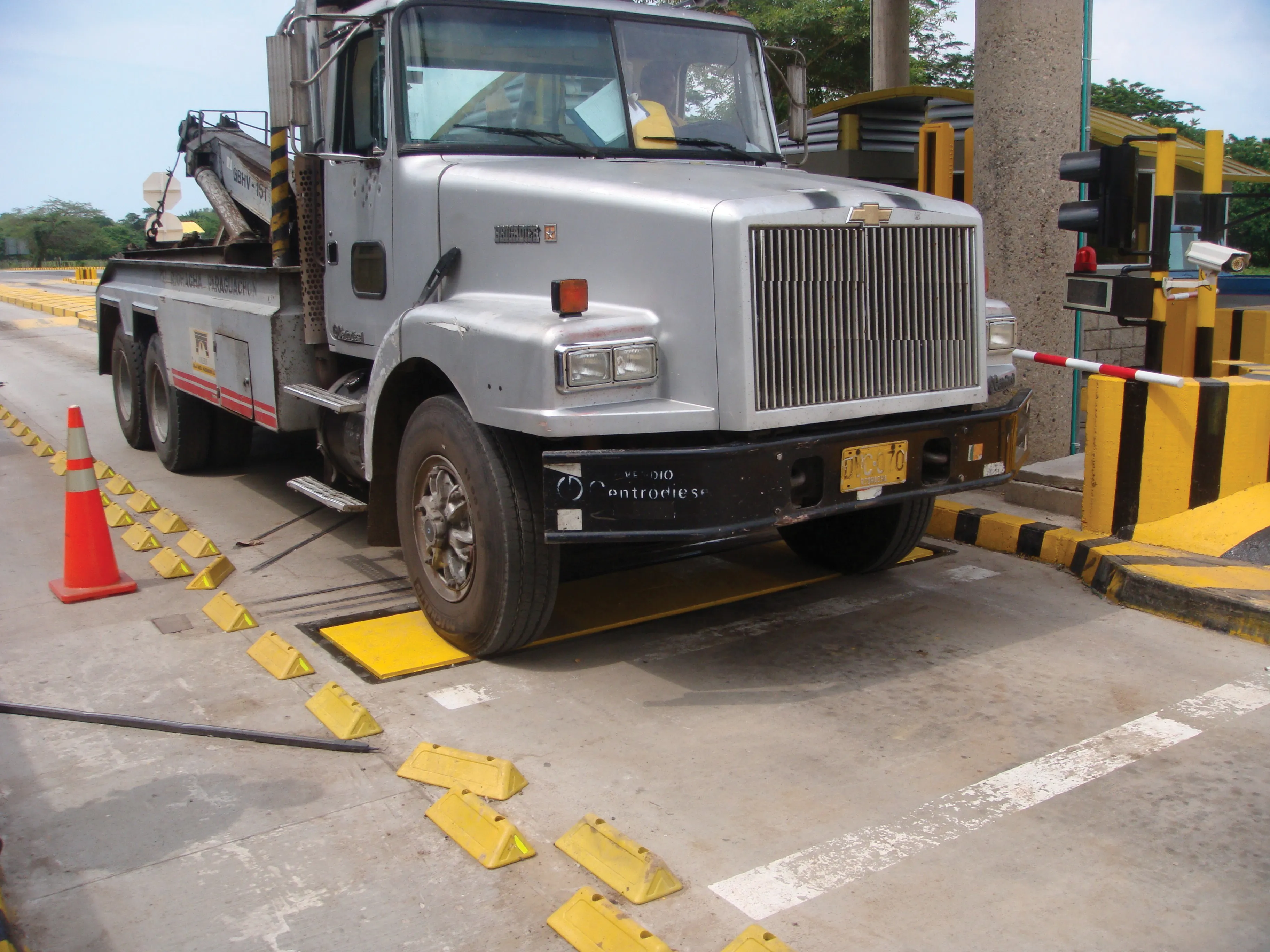
    Overweight vehicles cause enormous damage to road structures but they can be caught, even at high speed. Weigh-in-motion or WIM devices are designed to capture and record axle weights and gross vehicle weights as vehicles drive over a measurement site.