It’s a level playing field with Leica’s iCON gps 70 Series

Efficiency is the name of the game from the iCON gps 70 Series, a GNSS rover from Leica Geosystems. With the iCON gps 70 T you can measure and stakeout points faster and without the need to keep the pole vertical and level the bubble. The combination of the latest GNSS technology and inertial measurement unit (IMU) equips the iCON gps 70 T with permanent tilt compensation and makes it resistant to any magnetic interference. Because the iCON gps 70 T is calibration-free, it can be ready instantly and any
April 27, 2018 Read time: 2 mins
Leica’s iCON gps 70: no need to keep the pole vertical and level the bubble

Efficiency is the name of the game from the iCON gps 70 Series, a GNSS rover from Leica Geosystems.

With the iCON gps 70 T you can measure and stakeout points faster and without the need to keep the pole vertical and level the bubble.

The combination of the latest GNSS technology and inertial measurement unit (IMU) equips the iCON gps 70 T with permanent tilt compensation and makes it resistant to any magnetic interference.

Because the iCON gps 70 T is calibration-free, it can be ready instantly and anywhere that it is needed.

The on-site operator can collect as-built field data and stake out designs faster while increasing accuracy and reduced errors. This also allows the operative to focus more on his or her safety in a hazardous environment.

The iCON gps 70 series is seamlessly integrated into the Leica iCON field software. By keeping the core central interface, following the unrivalled Leica iCON concept, the onsite operative can benefit from the simple-to-use workflows which require less training and avoid costly downtime.

The GNNSS technology allows 555 channels for more signals, faster acquisition
and improved sensitivity.

To ensure accuracy and continued use, the unit is IP66 / IP68 protected. It is also built for extreme temperatures of -40°C to +65°C.

Related Content

  • Asecap Days – Istanbul 2023
    February 16, 2024
    The “vast lakes of data” collected daily by global highway operators are going to waste meaning opportunities to improve services and boost revenue are continually lost. This must change, reports Geoff Hadwick from the ASECAP Days 2023 conference in Istanbul.
  • Kistler Lineas strip sensors receive OIML certification
    September 15, 2015
    Kistler has announced that its Weigh-In-Motion (WIM) system consisting of Lineas quartz WIM sensors and the Kistler WIM Data Logger has been OIML R-134 certified. Kistler said its WIM system precisely measures axle loads and vehicle weights from low to high speed. It is now, with the OIML certificate (International Organisation of Legal Meteorology) also certified for legal applications from low to medium speed (3-65 kph) with accuracy class 5 and class 10. This enables the automatic collection of wei
  • Improved construction software from Topcon
    June 22, 2021
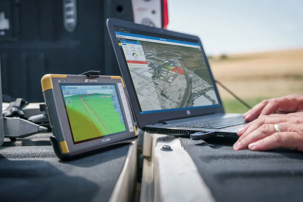
    Topcon Positioning is introducing the latest version of its software package for construction and survey professionals: MAGNET 7.
  • Measuring night and day visibility of road markings
    March 16, 2012
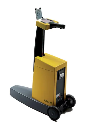
    Box International studies have proven that relatively more accidents and fatalities happen during night-time driving compared to day-time driving. At the end of 2008, Danish company DELTA launched its latest model, the LTL-XL, a fourth generation portable retrometer for measuring night and day-time visibility of all types of road markings. "Measures are traceable to PTB (Physikalisch-Technische Bundesanstalt), Germany and NIST (National Institute of Standards), USA. LTL-XL measures according to the internat