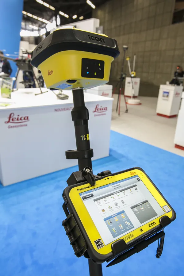
Efficiency is the name of the game from the iCON gps 70 Series, a GNSS rover from Leica Geosystems.
With the iCON gps 70 T you can measure and stakeout points faster and without the need to keep the pole vertical and level the bubble.
The combination of the latest GNSS technology and inertial measurement unit (IMU) equips the iCON gps 70 T with permanent tilt compensation and makes it resistant to any magnetic interference.
Because the iCON gps 70 T is calibration-free, it can be ready instantly and anywhere that it is needed.
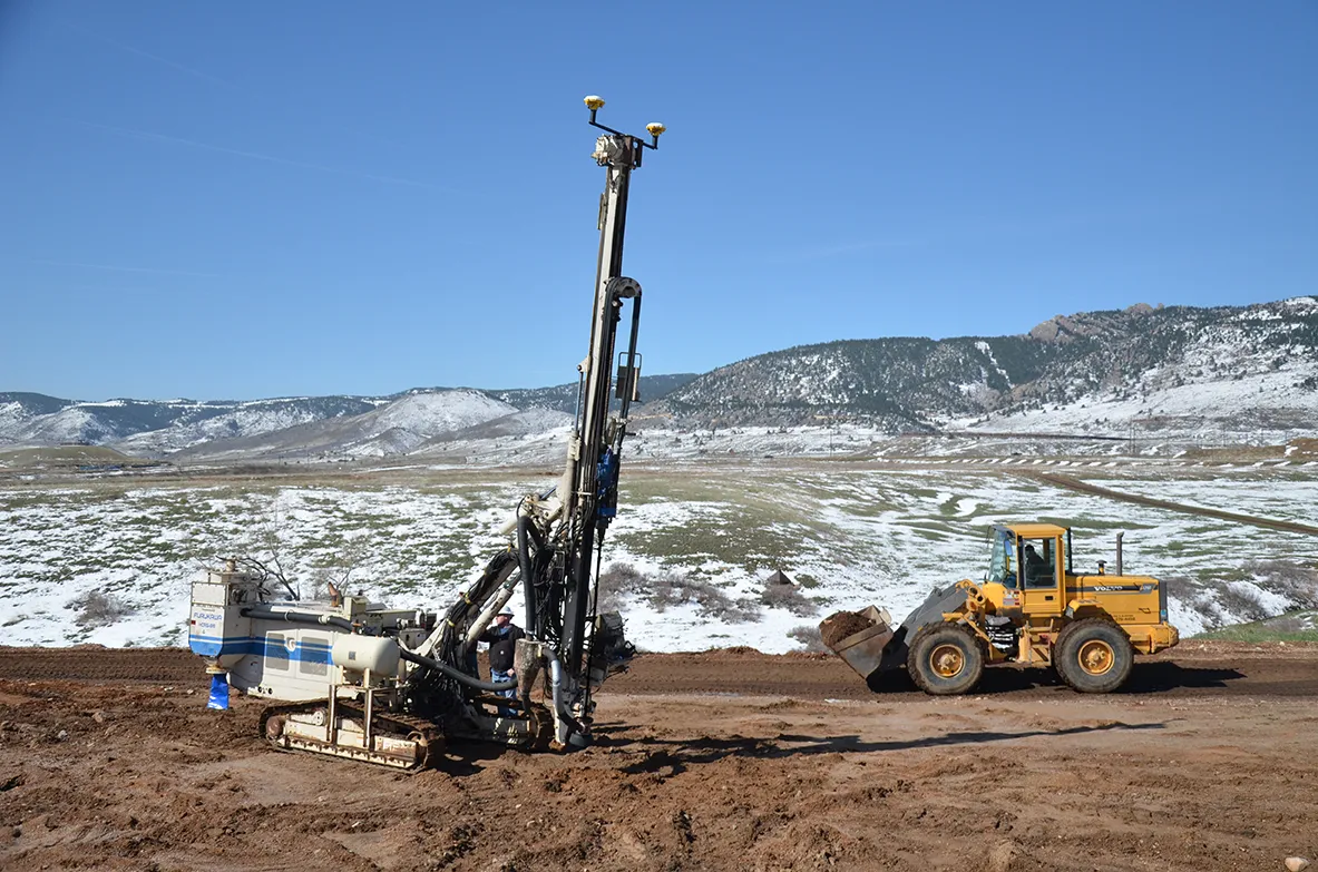
The on-site operator can collect as-built field data and stake out designs faster while increasing accuracy and reduced errors. This also allows the operative to focus more on his or her safety in a hazardous environment.
The iCON gps 70 series is seamlessly integrated into the Leica iCON field software. By keeping the core central interface, following the unrivalled Leica iCON concept, the onsite operative can benefit from the simple-to-use workflows which require less training and avoid costly downtime.
The GNNSS technology allows 555 channels for more signals, faster acquisition
and improved sensitivity.
To ensure accuracy and continued use, the unit is IP66 / IP68 protected. It is also built for extreme temperatures of -40°C to +65°C.