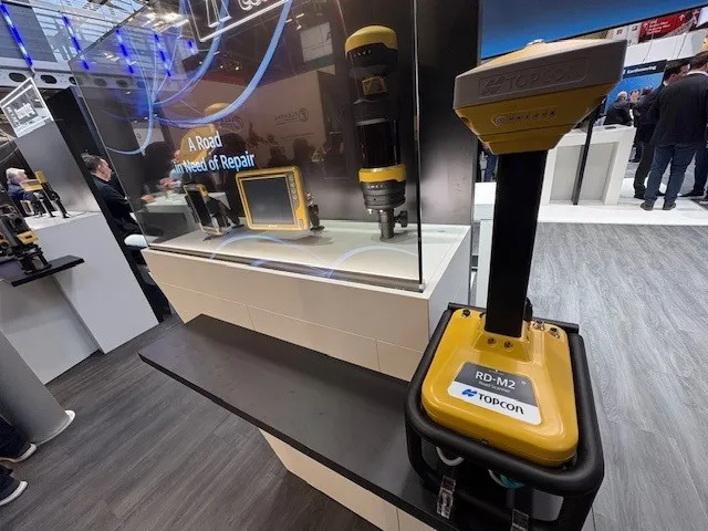
Get highly detailed 3D point road surface data from Topcon’s new RD-M2 scanner

April 11, 2025 Read time: 1 min
The vehicle-mounted downward-facing RD-M2 from Topcon Positioning Systems delivers precise surface conditions over long and complex roads

Topcon Positioning System’s new RD-M2 laser scanner has been purpose-built for road resurfacing applications.

The vehicle-mounted downward-facing RD-M2 delivers precise surface conditions over long and complex roads, which means no road closures are needed.  

Millions of points are collected by the vehicle operator from safety of his or her cab.

The 3D point data from the RD-M2 scanner serves as the basis for detailed road surface designs using the Topcon Office Suite.  

These ground-truth surfaces are a part of the company’s SmoothRide system workflow.

Users can take advantage of Topcon’s intuitive workflow to create their own custom design from the scan or they can integrate a predefined template.  

Users can also align the scan to the local coordinate system with millimetre-level precision, providing complete flexibility for road resurfacing projects.  

For more information on companies in this article

Related Content

  • All change – the evolution of data
    January 24, 2018
    Embracing change; handling data as an evolutionary process, Mike Woof writes. Bentley Systems believes that it is on the cusp of a revolutionary step in computing that will boost the working efficiency of companies right across industry. Bhupinder Singh, chief products officer at Bentley Systems explained that its key advance will allow firms to utilise what they already have, but more efficiently. He said, “Companies are effectively analysing just 1% of their data. The rest is ‘dark data’ that is stored
  • National Highways to use P-AMS from TRL
    April 29, 2022
    TRL will integrate its pavement management system P-AMS, based upon iROADS, into England’s asset management progamme, replacing HAPMS.
  • New barrier, crash cushion and access control technology will benefit road user safety
    October 26, 2012
    Protecting road users, with barriers, crash cushions or access control systems, is crucial for network safety - Mike Woof writes Tough regulations are now in place in Europe and the US, requiring road authorities to provide safer road infrastructure than in the past. Technologies to reduce the severity of vehicle impacts against obstructions or redirect vehicles into the roadway should help cut injuries amongst drivers and passengers alike. The specifications for the use of crash cushions and barriers can v
  • Know what lies below with Leica’s DSX 3D utility detection system
    April 11, 2025

    Emergency road repair work needn’t create yet another emergency by hitting unknow utility pipes and other systems.  

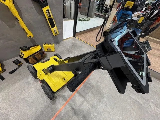
    Leica Geosystems says its DSX utility detection solution can quickly be walked over the area where work is about to start and immediately show an excavator operator any dangers that lie below.

    It locates, visualises and map utilities. Unlike any other ground penetrating radar system, the Leica DSX maximises productivity with cutting-edge software that automates data analysis and creates a 3D utility map of the field.