Fast smart car

Audi has let its sophisticated autonomous RS7 performance car loose on the famous Hockenheim race circuit, with successful results. The vehicle features advanced computing technology that allows it to drive itself and was able to achieve speeds of 240km/h while completing a lap on the Grand Prix race circuit. A combination of GPS location data and onboard camera technology enabled the vehicle to compare with stored track map information and identify its precise location on the track, allowing it to drive at
January 14, 2015 Read time: 1 min
Audi has let its sophisticated autonomous RS7 performance car loose on the famous Hockenheim race circuit, with successful results. The vehicle features advanced computing technology that allows it to drive itself and was able to achieve speeds of 240km/h while completing a lap on the Grand Prix race circuit. A combination of GPS location data and onboard camera technology enabled the vehicle to compare with stored track map information and identify its precise location on the track, allowing it to drive at the appropriate speed and in the correct direction. The car was able to follow the best line through the curves with an accuracy of just centimetres. The company does plan to incorporate some of the self-driving technologies in upcoming models currently in development, which will help boost safety and reduce the risk of crashes.

Related Content

  • Machine guidance and asset management aid fleet utilisation
    July 16, 2012
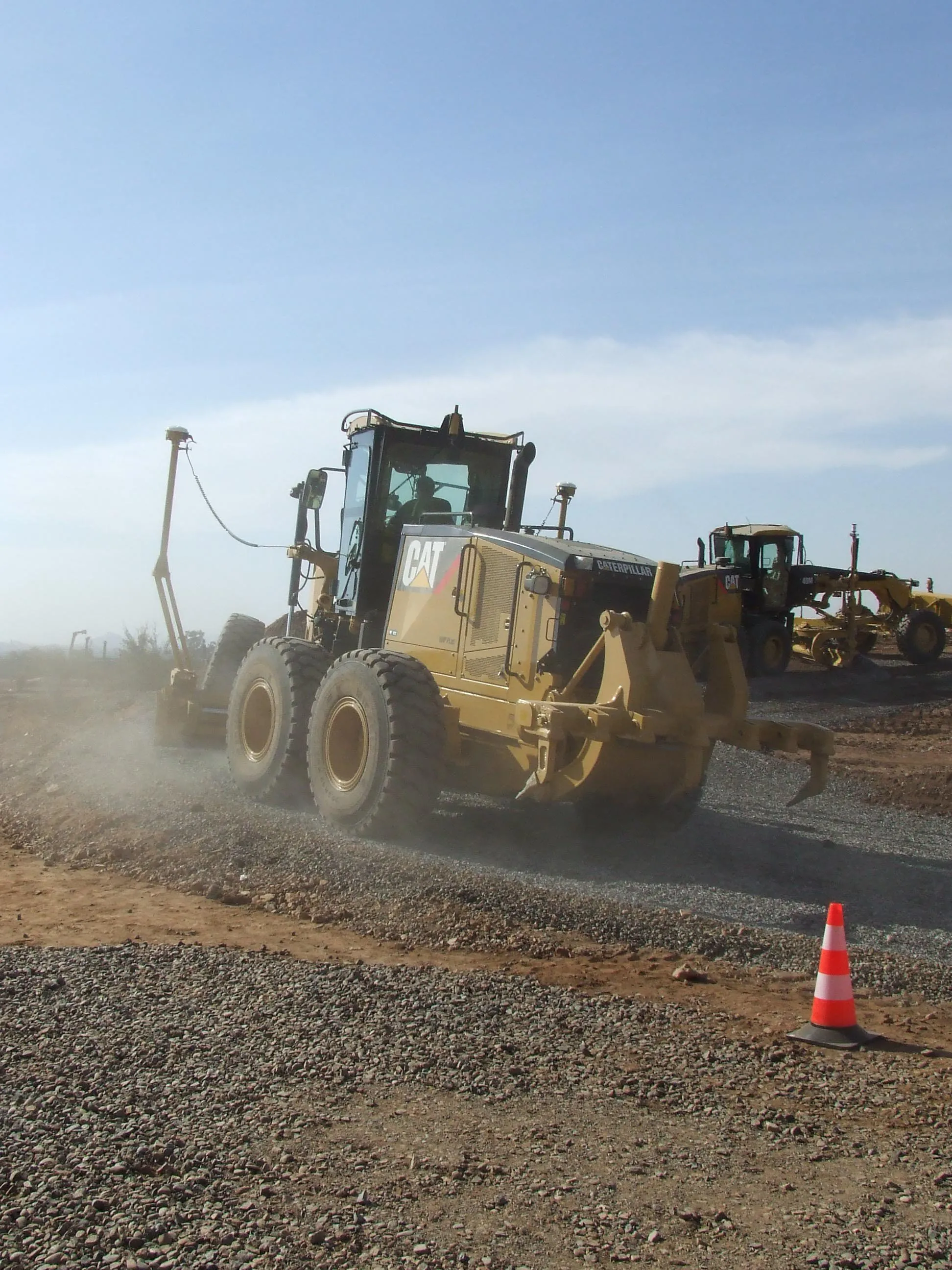
    Integrating Caterpillar's latest machine guidance and asset management tools offers efficiency gains for contractors in a competitive market. Mike Woof reports Caterpillar has been a leader in the development of GPS machine control systems through its partnership with Trimble. The manufacturer has rolled out a series of AccuGrade packages for various machines in its line-up, starting with the dozers and graders and then spreading to other machines such as scrapers, excavators and soil compactors. Caterpilla
  • Mapping effectively with vehicle-based imaging
    July 23, 2012
    Yotta is offering an innovative vehicle-based imaging service that will provide accurate high-resolution panoramic street-level views of highway features. The vehicle is equipped with a 60 megapixel panoramic camera developed by Yotta and uses Applanix satellite positioning technology to log the exact location of each image. The vehicle cam improves street-level mapping operations with accurate 3D images of buildings and other highway features, such as signs, trees, barriers and fences. Called Y360, the veh
  • Apps for all in Louisiana
    May 20, 2020
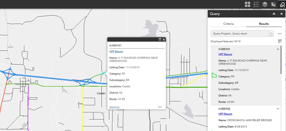
    Jason Barnes* looks at how a system of engagement (SoE) from software specialist Esri helped the US state of Louisiana’s transportation department create user-friendly apps
  • Developments in asphalt paver performance
    February 16, 2012
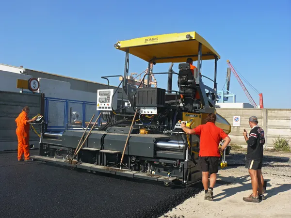
    Key additions will boost the asphalt paver offering for customers, Mike Woof reports. There are a number of key players in the asphalt paving market that see the value of investing in design, technology and performance. For customers this has resulted in a wide variety of high quality, high performance machines to choose from.