Accurate utilities detection

By MJ Woof November 26, 2024 Read time: 1 min
Utility works can be carried out more efficiently using new capabilities offered jointly by Trimble and Radiodetection

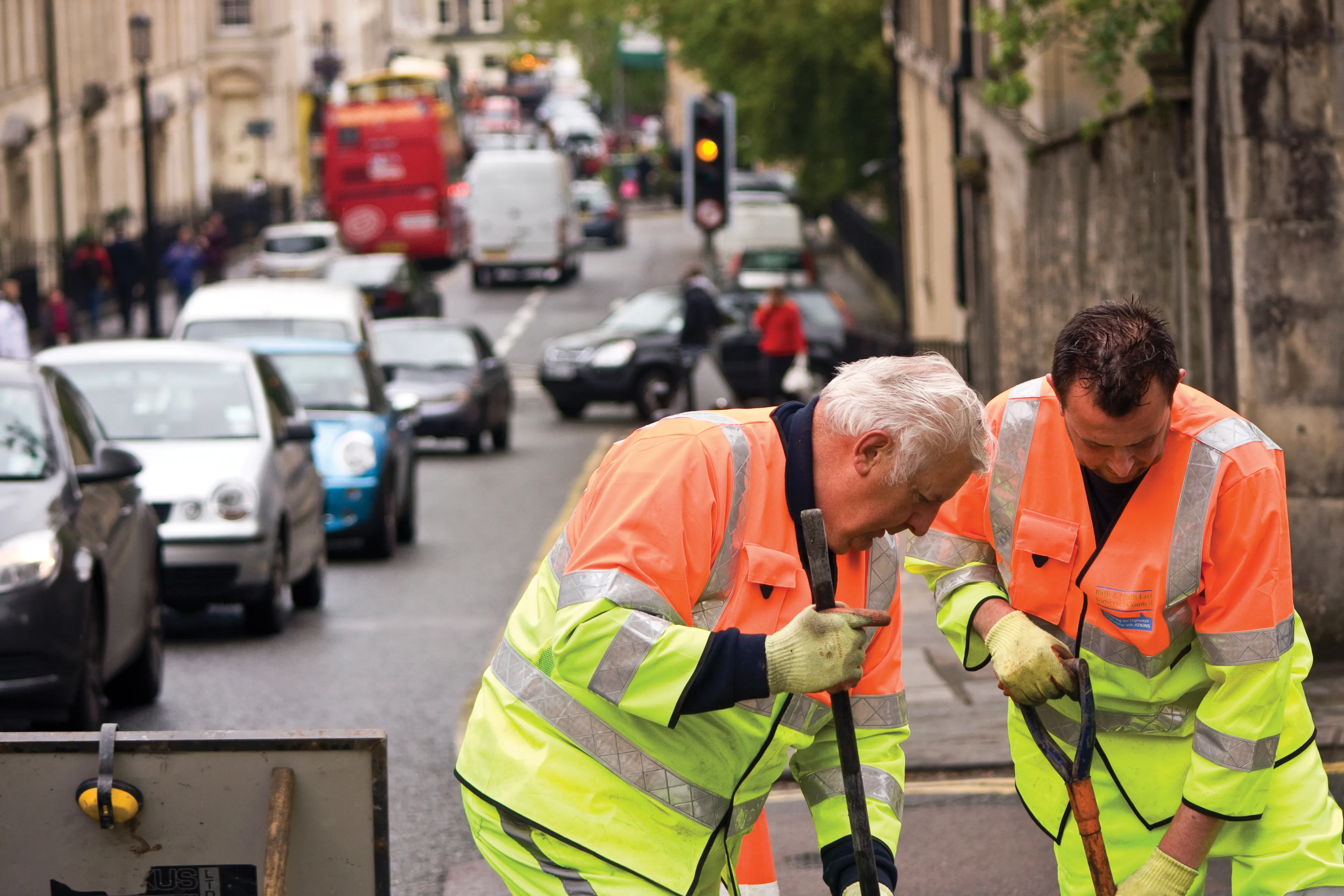
Trimble and Radiodetection are collaborating to improve the technology used in the utility measurement and mapping process. Integrating the Trimble Catalyst DA2 GNSS system and Radiodetection’s RD MapTM+ application and precision locator products helps to streamline utility-locating workflows to provide accurate measurement capabilities and generate underground utilities maps in a single field operation.

When using conventional technology, field technicians mark their measurements onsite or rely on data entries to provide to office staff for map creation after a site visit. However, data collected with the Trimble Catalyst DA2 GNSS system can now be simultaneously synchronised with Radiodetection RD Map+ and precision locators that find and mark buried utilities. By streamlining this connection, workers can digitise utility-line locations and reduce reporting errors. 

“Accurate geolocation is critical to the operation and maintenance of underground utilities and public infrastructure,” said Stephanie Michaud, strategic marketing manager, Trimble Surveying & Mapping Field Solutions. “By adding survey-grade capabilities to existing utility workflows, this collaboration creates a connected solution that provides confidence and reliability during the data capture process.”

The combined technologies provide accurate data for construction firms to work from, assisting with the establishment of dependable digital twins.




For more information on companies in this article

Related Content

  • Trimble and Manitowoc deal boost to construction world
    February 1, 2012
    Trimble and Manitowoc Cranes are collaborating on developing technology that boosts construction lifting industry productivity, while improving onsite crane use and data management.
  • Caterpillar has a Vision that includes total project site overview
    April 5, 2016
    Caterpillar may be on its financial back foot, but a recent event showed the company has a vision far beyond this or the next financial year – David Arminas reports. Many construction machinery manufacturers have some data collection and analysis systems for their heavy equipment. For a good decade, manufacturers have been moving in this direction, first as retrofit packages on machines in the field and increasingly as standard on newer models. Caterpillar is no exception among manufacturers that are movin
  • Variable message signs aid parking, traffic control
    February 14, 2012
    From the highway to the parking space: message sign technology has proved that it simplifies wayfinding Variable message signs (VMS) are often located at key decision points on busy highways to help manage the network by providing advanced warning to drivers of emergencies and incidents. They are also used to warn drivers of events that may cause delays in the future such as road works and major events. An example comes from the USA where, to stimulate economies and refresh downtown areas, cities are build
  • Easing temporary highway danger
    February 22, 2013
    Some of the latest speedometer technology has been successfully trialled in French highway work zones, while tireless work continues across Europe and the United States to reduce the number of work zone deaths and serious injuries involving road workers and motorists. Guy Woodford reports The number of roadworkers being killed and seriously injured on England’s motorways and major trunk roads more than doubled between 2007 and 2010 – from no deaths and 14 serious injuries. This rise has led to to major camp