Accurate utilities detection

By MJ Woof November 26, 2024 Read time: 1 min
Utility works can be carried out more efficiently using new capabilities offered jointly by Trimble and Radiodetection

Trimble and Radiodetection are collaborating to improve the technology used in the utility measurement and mapping process. Integrating the Trimble Catalyst DA2 GNSS system and Radiodetection’s RD MapTM+ application and precision locator products helps to streamline utility-locating workflows to provide accurate measurement capabilities and generate underground utilities maps in a single field operation.

When using conventional technology, field technicians mark their measurements onsite or rely on data entries to provide to office staff for map creation after a site visit. However, data collected with the Trimble Catalyst DA2 GNSS system can now be simultaneously synchronised with Radiodetection RD Map+ and precision locators that find and mark buried utilities. By streamlining this connection, workers can digitise utility-line locations and reduce reporting errors. 

“Accurate geolocation is critical to the operation and maintenance of underground utilities and public infrastructure,” said Stephanie Michaud, strategic marketing manager, Trimble Surveying & Mapping Field Solutions. “By adding survey-grade capabilities to existing utility workflows, this collaboration creates a connected solution that provides confidence and reliability during the data capture process.”

The combined technologies provide accurate data for construction firms to work from, assisting with the establishment of dependable digital twins.




For more information on companies in this article

Related Content

  • 3D PAVING comes to India and is boosting slipforming efficiency
    December 19, 2016
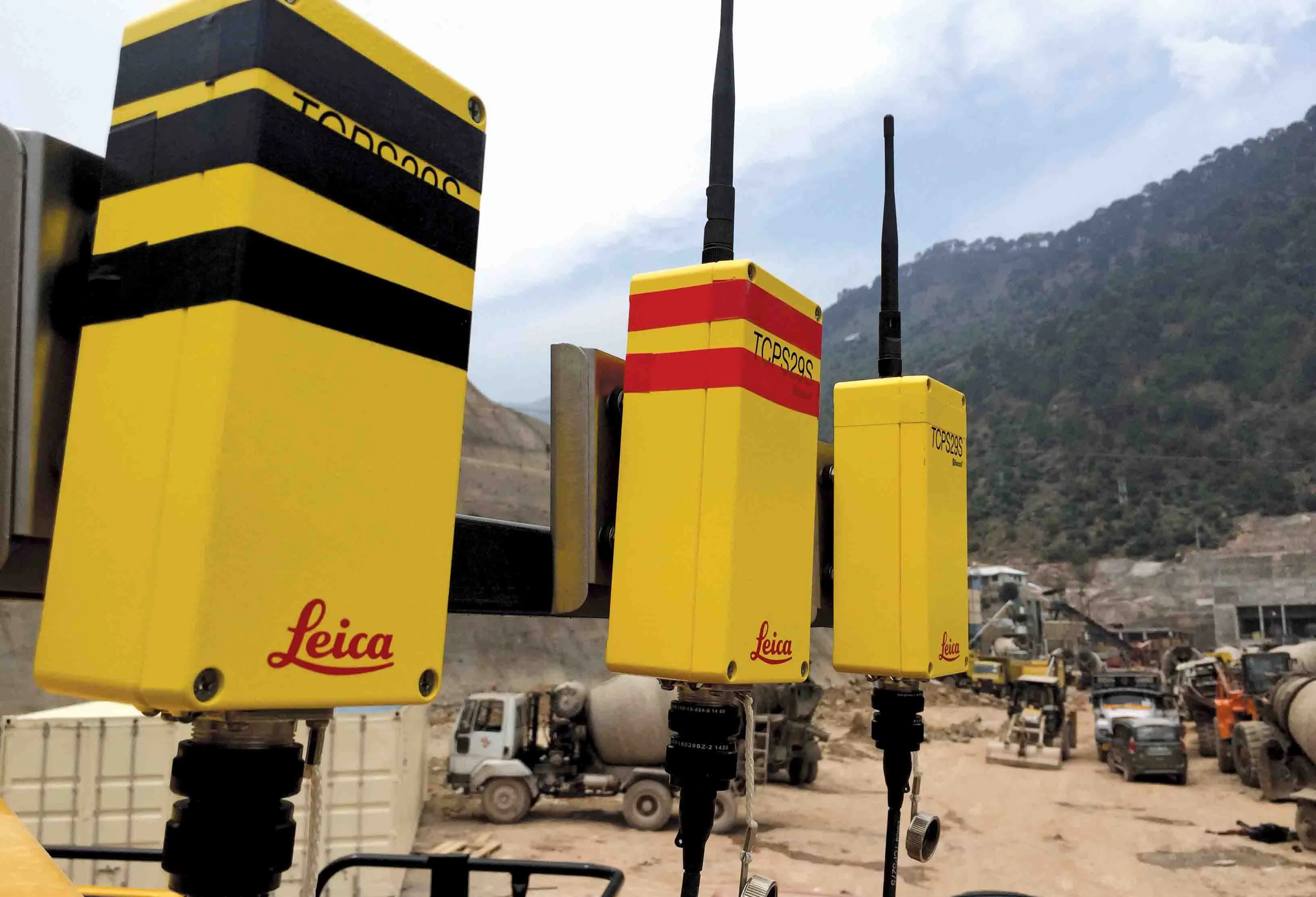
    Situated on India’s northern frontier, the state of Jammu and Kashmir is world-renowned for its aesthetic vistas and captivating landscapes. The arterial roads connecting the city of Jammu to that of Srinagar is a challenge to maintain, being constantly exposed to harsh weather and overburdened with vehicular movement. Leica Geosystems has been involved in the Chenani-Nashri tunnel project, India’s longest road tunnel and which will be part of an alternate route in the region
  • Effective demarcation boosts traffic safety
    July 29, 2015
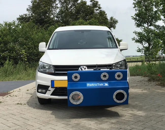
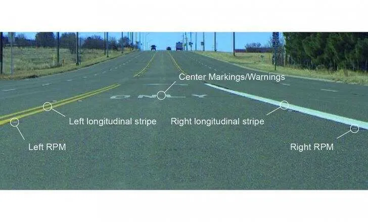
    Effective demarcation can play a crucial role in boosting safety for road users. Good demarcation is vital on a road network to help ensure that drivers stay in the correct lanes and are warned of changes that lie in their path, for example. Road markings are hugely important and for those involved in maintenance, ensuring that these are visible at night and in poor weather can help maximise safety. New technology is on the market now that can help road authorities ensure that road markings meet requirement
  • Estonia surveys major roads with a RetroTek-M retroreflectometer
    May 22, 2019
    During the past two years, Estonia’s Road Administration has clocked up 4,021km during a retroreflectivity project on all main state roads and on basic roads. Estonia’s Road Traffic Development Department of the Estonian Road Administration has been working with ERC Consulting to gather retroreflectivity data on road markings on all main state roads and basic roads. The work has shown that out of 1,609km of main state roads, 20% had problems. The reflective effect is created by glass beads on the surf
  • RetroTek: standards are key
    December 12, 2022
    Accurate retroreflectivity measurements of line markings across the full lane width has become even more important after the US adoption of minimum levels of retroreflectivity.