Accurate utilities detection

By MJ Woof November 26, 2024 Read time: 1 min
Utility works can be carried out more efficiently using new capabilities offered jointly by Trimble and Radiodetection

Trimble and Radiodetection are collaborating to improve the technology used in the utility measurement and mapping process. Integrating the Trimble Catalyst DA2 GNSS system and Radiodetection’s RD MapTM+ application and precision locator products helps to streamline utility-locating workflows to provide accurate measurement capabilities and generate underground utilities maps in a single field operation.

When using conventional technology, field technicians mark their measurements onsite or rely on data entries to provide to office staff for map creation after a site visit. However, data collected with the Trimble Catalyst DA2 GNSS system can now be simultaneously synchronised with Radiodetection RD Map+ and precision locators that find and mark buried utilities. By streamlining this connection, workers can digitise utility-line locations and reduce reporting errors. 

“Accurate geolocation is critical to the operation and maintenance of underground utilities and public infrastructure,” said Stephanie Michaud, strategic marketing manager, Trimble Surveying & Mapping Field Solutions. “By adding survey-grade capabilities to existing utility workflows, this collaboration creates a connected solution that provides confidence and reliability during the data capture process.”

The combined technologies provide accurate data for construction firms to work from, assisting with the establishment of dependable digital twins.





For more information on companies in this article

Related Content

  • Digital cameras and VMS improve London and Scottish road safety
    March 18, 2016
    London and Scotland are using VMS and digital cameras to successfully lower road deaths. Road safety measures such as variable message signs (VMS) and digital cameras have boosted road safety in the UK capital London and also in the Scottish Highlands. And the systems need not be a drain on electricity supplies. Full matrix driver information signs from SWARCO Traffic, one of the UK’s leading traffic management technology providers, are being installed for the first time across the Transport for London (TfL
  • Intelligent paving tool from BOMAG
    April 9, 2025

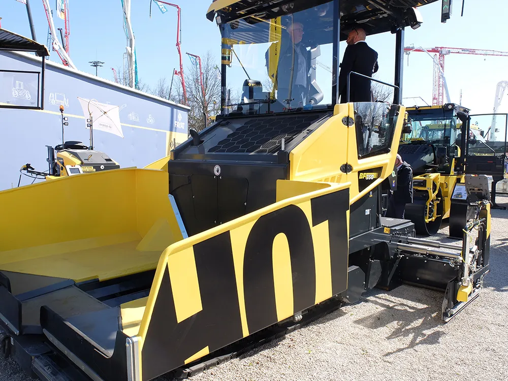
    The innovative BOMAP Pave solution offers connected construction capabilities for paving works. BOMAG’s new system allows networking of pavers and rollers, boosting efficiency and quality in asphalt paving jobs.

    Pavers and asphalt rollers can be connected within an open, manufacturer-independent system. This allows control of the paving process from asphalt delivery to compaction. It provides users with full transparency in real time, reducing coordination effort and sustainably improving site processes.

  • Innovative solutions to earthmoving needs
    January 3, 2013
    Several manufacturers are offering improved earthmoving machines, with more to come - Mike Woof reports. One of the most notable developments comes from Caterpillar, with the unveiling of a hybrid excavator in the shape of its 336E H model. The machine is having its public launch at the bauma exhibition in Spring 2013 and will start rolling out of the factory in March 2013, while customers will be able to place orders from February 2013. Unlike other hybrid excavators on the market at present, the Cat 336E
  • NDT sensor fusion in structural pavement condition surveys
    February 27, 2017
    Early detection of pavement defects and the causes of deterioration is essential for effective maintenance planning, writes Dr Alena Uus* There is a need for optimisation and development of UK highway survey methods that would provide comprehensive information on the surface and subsurface pavement condition and operate at traffic speed, which eliminates the requirement for lane closures. Performance of non-destructive testing (NDT) methods commonly employed in pavement condition surveys can be potent