Accurate utilities detection

By MJ Woof November 26, 2024 Read time: 1 min
Utility works can be carried out more efficiently using new capabilities offered jointly by Trimble and Radiodetection

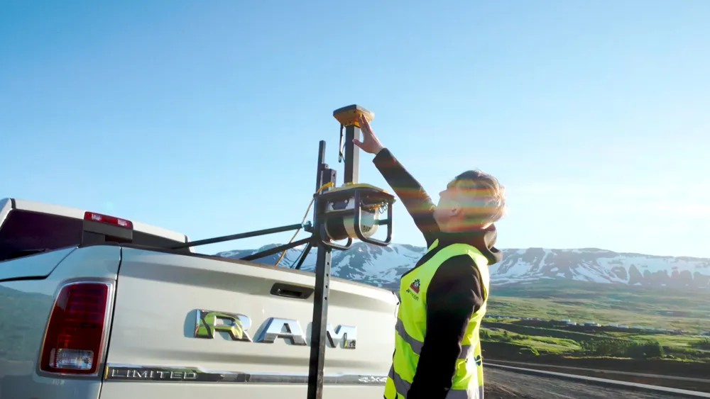
Trimble and Radiodetection are collaborating to improve the technology used in the utility measurement and mapping process. Integrating the Trimble Catalyst DA2 GNSS system and Radiodetection’s RD MapTM+ application and precision locator products helps to streamline utility-locating workflows to provide accurate measurement capabilities and generate underground utilities maps in a single field operation.

When using conventional technology, field technicians mark their measurements onsite or rely on data entries to provide to office staff for map creation after a site visit. However, data collected with the Trimble Catalyst DA2 GNSS system can now be simultaneously synchronised with Radiodetection RD Map+ and precision locators that find and mark buried utilities. By streamlining this connection, workers can digitise utility-line locations and reduce reporting errors. 

“Accurate geolocation is critical to the operation and maintenance of underground utilities and public infrastructure,” said Stephanie Michaud, strategic marketing manager, Trimble Surveying & Mapping Field Solutions. “By adding survey-grade capabilities to existing utility workflows, this collaboration creates a connected solution that provides confidence and reliability during the data capture process.”

The combined technologies provide accurate data for construction firms to work from, assisting with the establishment of dependable digital twins.




For more information on companies in this article

Related Content

  • Geveko Markings: committed to safety
    February 28, 2025
    Achieving Europe’s Vision Zero - eliminating road fatalities - requires a united effort from everyone in the road marking sector, both public and private. Collaboration and innovation are key to creating safer, more sustainable, and more efficient roads, from highways to bike lanes. Global company Geveko Markings is dedicated to this mission and shares its commitment to Vision Zero and beyond.*
  • A winter wonderland for Vaisala’s MD30 sensor
    November 18, 2019
    Accurately measuring road network conditions in real time requires rugged and durable mobile sensor technology, writes Rose Parisi* Monitoring road conditions is critical to performing efficient and effective maintenance that reduces risks posed by hazardous driving conditions. This is most critical during winter. Road weather information systems (RWIS) help support road maintenance decision-making through the measurement of atmosphere and pavement conditions. However, due to the static location and
  • Technology from Topcon plays key role in resurfacing race track
    May 13, 2021
    Located in northern Iceland, Akureyri is the fourth largest town in the country, with a modest population of 19,000. The town is home to one of Iceland’s oldest car racing clubs, the Akureyri Car Club, which runs regular drag racing events. However, its popularity resulted in heavy wear and tear, which meant the quarter-of-a-mile drag race strip was in urgent need of an upgrade.
  • Improving excavator efficiency with Trimble
    December 11, 2018
    A new development from Trimble is the integration of its LOADRITE load weighing system for excavators using the Earthworks Grade Control package. According to the firm, this will allow customers to boost productivity and efficiency for excavation work. Contractors will be able to track the load carried in each bucket and monitor mass haul progress. This can provide an accurate picture, real-time picture of earthworks progress using the Trimble Earthworks monitor fitted in the machine. This data will also be