The Colorado Department of Transportation (CDOT) is testing a first-in-the-USA detection system that alerts drivers in real time of wildlife on highways that cause risk to motorists. The OmniTrax solution from Senstar is based on a volumetric electromagnetic proven sensor, buried approximately one third of a metre underground and about 10 metres from either side of the roadway.
The 5406 Colorado Department of Transportation (CDOT) is testing a first-in-the-USA detection system that alerts drivers in real time of wildlife on highways that cause risk to motorists. The 5408 OmniTrax solution from 5407 Senstar is based on a volumetric electromagnetic proven sensor, buried approximately one third of a metre underground and about 10 metres from either side of the roadway. The sensor detects large animals such as deer or elk, crossing over it, locates the position of the intrusion to within a metre and then activates nearby signs, in order to alert drivers approaching the high risk segment.
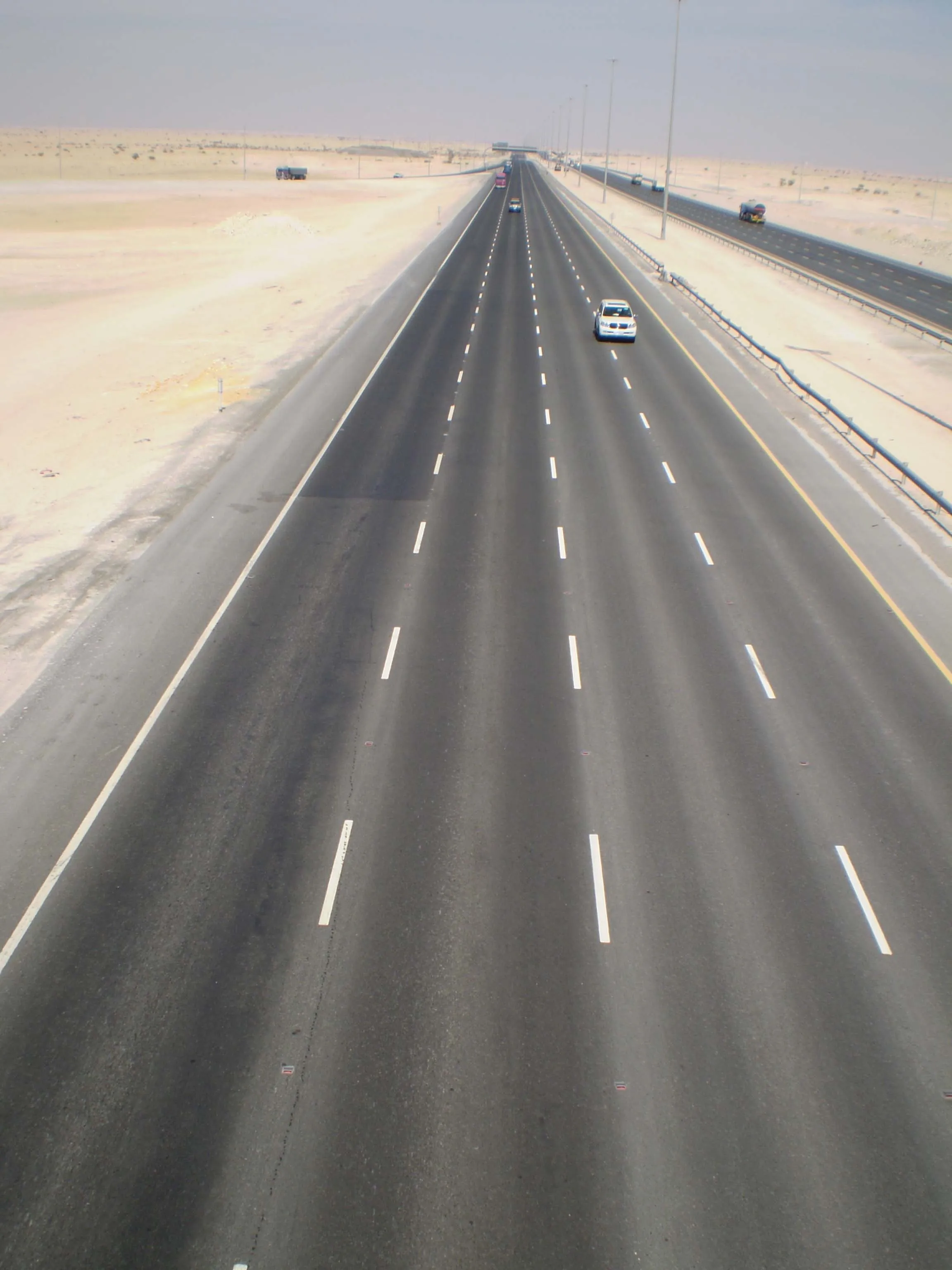
The current test installation covers 1.6kms of US 160 between Durango and Bayfield in southwest Colorado (around milepost 96), with six signs on each side. Once an animal is detected, the relevant two signs on each side light up.
“CDOT, in coordination with the Division of Wildlife studied many solutions, evaluating their practicality and economic and environmental feasibility,” explains Kevin Curry, a professional engineer with CDOT. “Fencing, permanent signs and lighting were not quite right for this stretch. We needed ways to minimise the impact to the wildlife’s migration while alerting motorists of their presence. We needed a solution with minimal environmental impact.”
Curry says that alternative detection systems using laser beams, microwaves or infrared technology were considered, but due to the potential for false alarms caused by snow, clouds and even tree branches, Omnitrax was clearly the best option with its high performance rating and low probability of false alarms.
Paul Trouten, national sales manager for Senstar says that Omnitrax is widely used for securing perimeters of strategic facilities, such as airports, military installations, borders, major energy and utilities installations and prisons, around the world.
“CDOT’s pilot project is a new and innovative application for the product,” said Trouten. He added that the company has received numerous calls of inquiry based on the Colorado application.
Seven speed radar detectors have also been installed to register motorists’ speed both outside and inside the test zone so that drivers’ base speed and reaction speed can be monitored. The radar system will also monitor traffic counts, useful for follow-up analysis of the data by the CDOT’s traffic & safety staff.
The project was awarded a CDOT Research Grant for $150,000 that is going to the3181 Western Transportation Institute of Bozeman, Montana, to independently evaluate the success of the project.
The current test installation covers 1.6kms of US 160 between Durango and Bayfield in southwest Colorado (around milepost 96), with six signs on each side. Once an animal is detected, the relevant two signs on each side light up.
“CDOT, in coordination with the Division of Wildlife studied many solutions, evaluating their practicality and economic and environmental feasibility,” explains Kevin Curry, a professional engineer with CDOT. “Fencing, permanent signs and lighting were not quite right for this stretch. We needed ways to minimise the impact to the wildlife’s migration while alerting motorists of their presence. We needed a solution with minimal environmental impact.”
Curry says that alternative detection systems using laser beams, microwaves or infrared technology were considered, but due to the potential for false alarms caused by snow, clouds and even tree branches, Omnitrax was clearly the best option with its high performance rating and low probability of false alarms.
Paul Trouten, national sales manager for Senstar says that Omnitrax is widely used for securing perimeters of strategic facilities, such as airports, military installations, borders, major energy and utilities installations and prisons, around the world.
“CDOT’s pilot project is a new and innovative application for the product,” said Trouten. He added that the company has received numerous calls of inquiry based on the Colorado application.
Seven speed radar detectors have also been installed to register motorists’ speed both outside and inside the test zone so that drivers’ base speed and reaction speed can be monitored. The radar system will also monitor traffic counts, useful for follow-up analysis of the data by the CDOT’s traffic & safety staff.
The project was awarded a CDOT Research Grant for $150,000 that is going to the