The Florida Department of Transportation and software-as-a-service provider one.network claim the Lane Closure Notification System (LCNS) is a first-of-its-kind state-wide technology pilot.
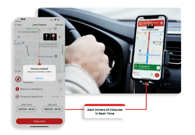
The project will use Live Link, one.network's proprietary shared road management platform that seamlessly connects with major GPS providers in the US. For the first time in the US drivers can count on timely and accurate work zone information through their preferred mapping app or device, according to one.network.
The project will be rolled out over the next several months and FDOT will require all contracted firms for new road construction to use Live Link to protect workers and drivers.
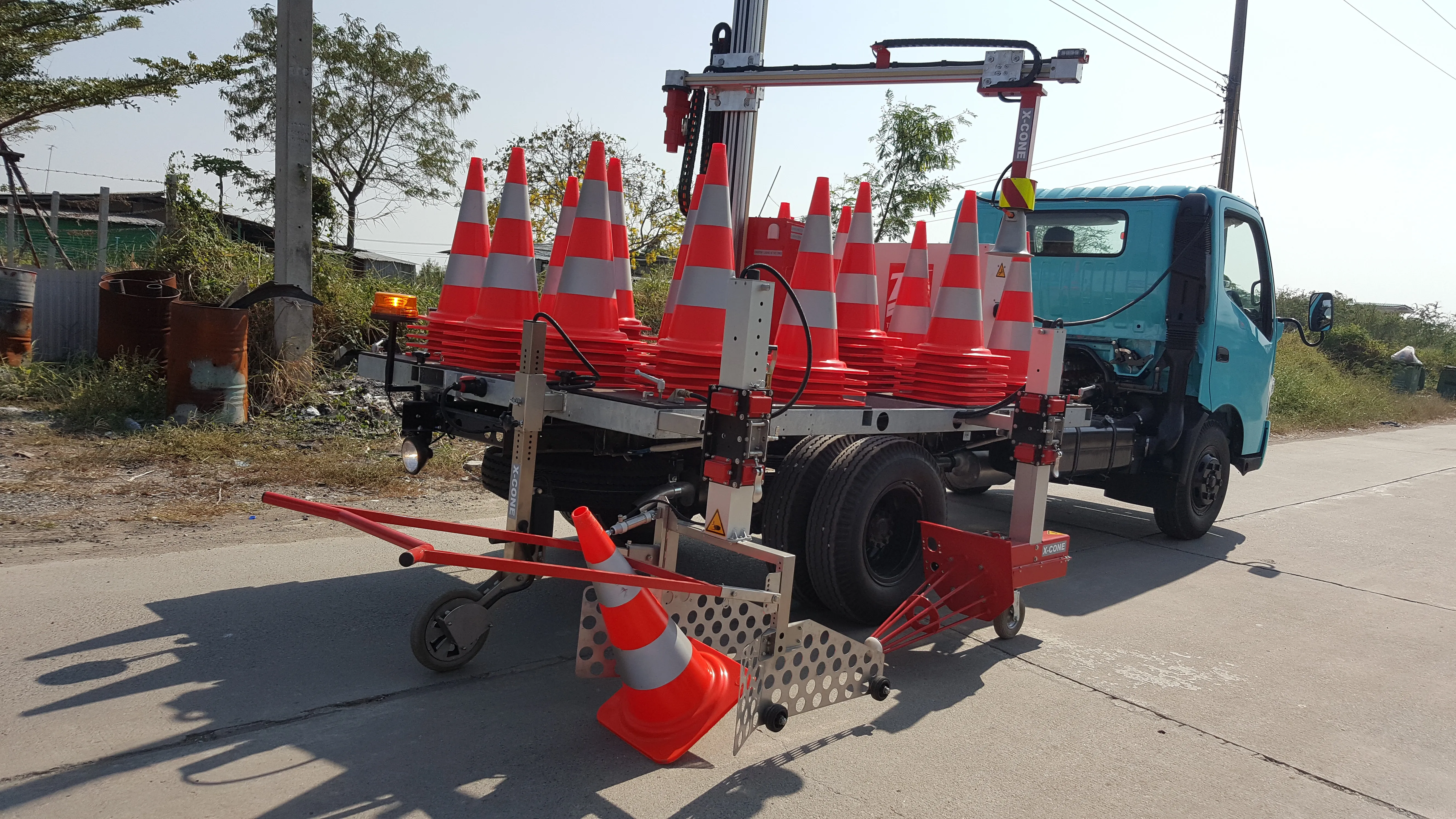
In preparation for the rollout, hundreds of road construction work zone supervisors have undergone training on how to use the technology. The safety project will provide them with one.network’s Live Link smart phone app, enabling workers to geometrically map out lane closures for each work zone construction site, and with the push of a button, close and open the lanes in near real-time.
The Live Link app is part of one.network’s map-based platform which is capable of ingesting and standardising multiple traffic data sources, visualising the data using an intuitive interface and providing APIs for distribution to third parties. API - application programming interface - allows two or more computer programs to communicate with each other.
Within the pilot project, one.network will also integrate with Florida's SunGuide traffic management system to pull in traffic incident and other construction information and share an aggregated data feed with GPS providers for the first time. Planned construction information will be posted under the current pilot programme, with maintenance, utility and other projects to be considered for inclusion at a later date.
The digital updates will include the presence of workers and any change in speed limits associated with the closure. The information will then be provided directly to GPS companies who will update their maps for the safety and planning benefit of the driving public. The pilot will cover all planned construction sites across FDOT’s seven regional districts that together represent more than 19,300km of state roads, including Florida’s Turnpike Enterprise, a unit of the Florida DOT that operates toll roads in the state.
It’s anticipated that the pilot rollout will include over 500 construction projects over the next few months. More than 100 road authorities in the UK are already actively using the one.network platform, but this will be its first application in the US.
“The data and technology we’re bringing to this initiative puts critical work zone information directly into the vehicles and devices of road users,” said James Harris, founder and chief executive of one.network. “With innovative agencies like FDOT leading the way, we can finally start to reverse the tragedy of work zone deaths and injuries that has become an unacceptable reality on our roads.”
State-wide crash data from 2017 to 2021 indicate that Florida experienced more than 53,000 work zone-related crashes, including 356 fatalities and 1,904 severe injuries.
“This innovative real-time Lane Closure Notification System is the first of its kind in North America and will be essential for improving construction worker and motorist safety in work zones across Florida,” said Florida Department of Transportation Secretary Jared Perdue.
“We appreciate the opportunity to be the first in the nation to use this state-of-the-art technology and look forward to further collaboration with our construction, maintenance and technology partners to advance FDOT’s safety goals.”
Software-as-a-service company one.network provides road agencies, utility companies and all organisations that rely on clear roads with tools to plan, communicate and analyse activities affecting road users